K-47 (and K-46)

Left figure is an index map for the
following publications.
Right figure shows geological setting of the
area, which is a part of the geologic map of Mongolia in “Maps Mongolia” free
website.
-------------------------------------------------------------
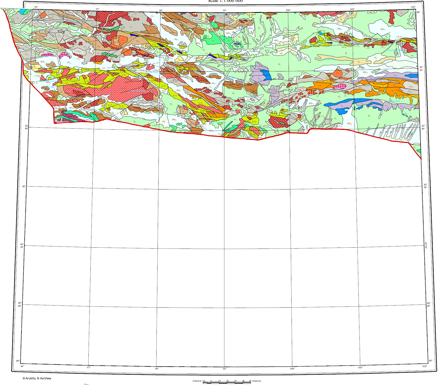
(1) Geological map of Mongolia (1:1,000,000 in
scale)
MRAM Geological Survey and MAS Institute of
Geology and Mineral Resources (1998)
(96 00 – 102 00 E, 40 00 – 44 00 N)
--- K-47 area (png) (and K-46 area)
--- Legend (png)
(2) G. Badarch and D. Orolmaa (1998) Overview of the
Geology and Tectonic evolution of
(3) Baigalmaa, N., Erdentsogt, B-O., Jargal, L.,
Baatarkhuyag, A. and Altantsetseg, D. (2024) Maceral composition, coal
characteristics and depositional environment of the Middle Jurassic
Nariinsukhait coal deposit, Southern Mongolia. Mongolian Geoscientist, 29 (59), 29-59.
https://www.mongoliajol.info/index.php/MGS/issue/view/331
Down
load the article in Mongolian Geoscientist 29 (59) site.